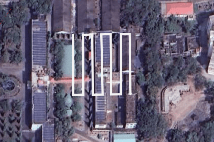
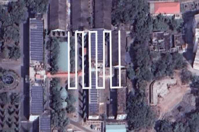
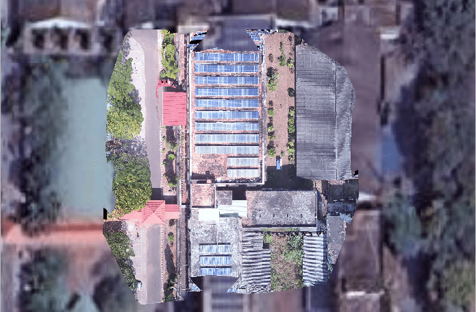
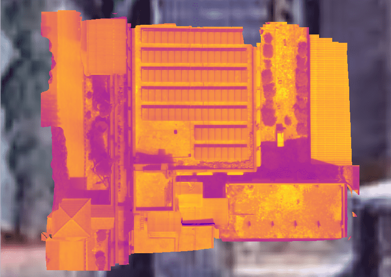
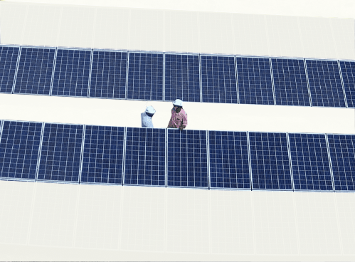
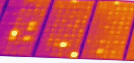
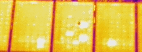
To set up a drone for a thermal survey, mission planning, and post-processing of the data to obtain an orthomosaic map and thermal map of the solar farm survyed and detection of defective solar cells.
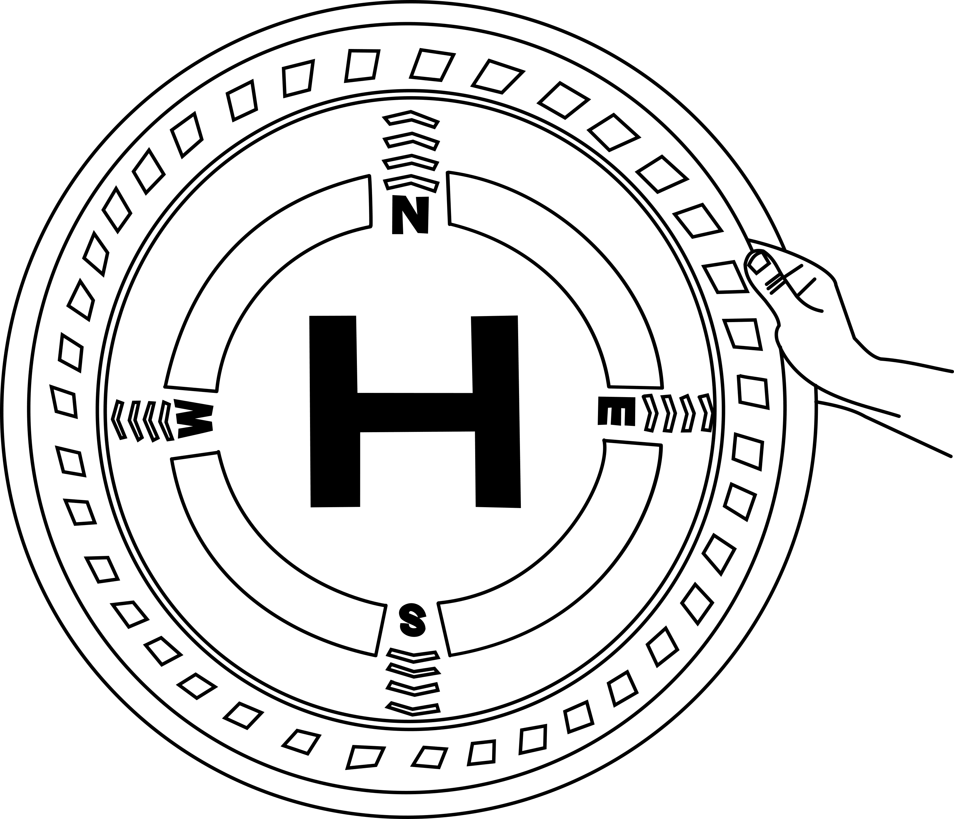
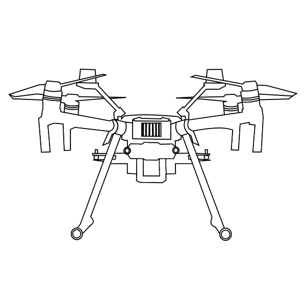
Drone, Thermal camera, Battery, Interface device, USB cable, Landing pad.
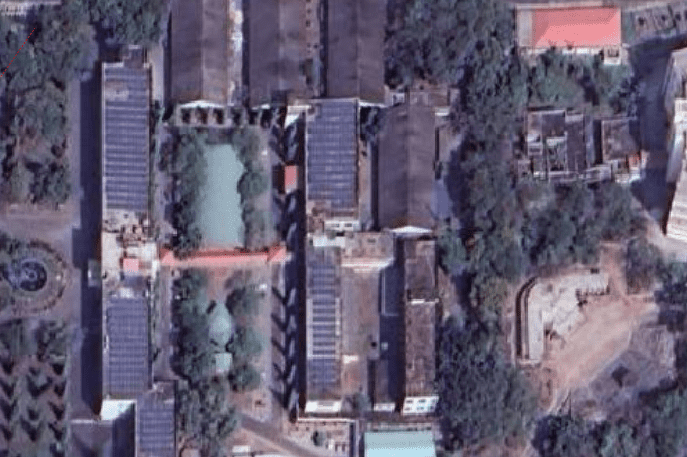
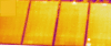
Thermal UAV survey has thermal cameras designed for non-contact measurement of surface temperatures from-20°C upto 1900°C. They enable efficient monitoring and control of temperature-critical processes both at low temperatures and at very high temperatures. Their high thermal sensitivity survey is suitable for precise and dynamic tasks of monitoring and maintenance in industries and power plants.
Unfold the Antennas of the transmitter on both the sides.
Connect the device (phone/ipad) to the holder of the transmitter.
Insert the battery to the transmitter.
Top View
Back view
Remove the drone from the box.
Slide all four arms of the drone to their position and secure the lock.
Similarly fix the other arms of the drones to their respective position.
Insert the propellers on all the motors.
Insert the fully charged batteries in the slot.
Similarly insert the another battery.
Open the Landing pad and place the drone on the Landing pad.
Note:- Unfold the landing pad.
Connect the thermal camera to the drone by turning the knob on the camera
Remove the knob
Open the flight plan & start the mission
Note:- Click on the check button of Upload, to process the captured data.
Upload the image here
Loading!
Upload is completed!
Identification of Defective solar cell from the thermal map.
Area surveyed: 6 Acre
No of batteries: 2
Front overlap: 75%
Side overlap: 70%
Flight height (m) | Resolution (cm/px) | Flight Time (min) | No of Images |
---|---|---|---|
50 | 2.5 | 8.04 | 131 |
60 | 3 | 6.25 | 94 |