Photogrammetry: RGB data capturing using UAV
Objective:
To set up a drone for a photogrammetric survey, mission planning and post processing of the data to obtain an orthomosaic map of the surveyed area.
Apparatus used:
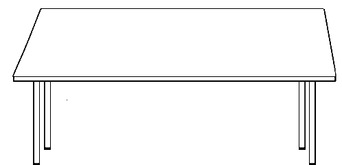
Drone with camera, Battery, Interface device (phone/iPad), USB cable, Landing pad.


Description
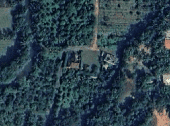
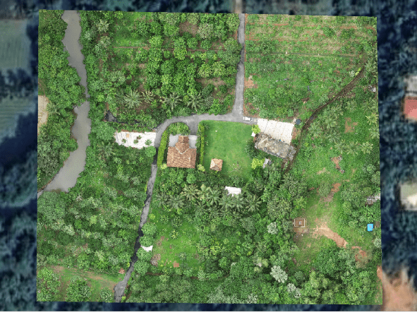
A photogrammetry survey is a method of surveying in which plans or maps are prepared from photographs are taken at a certain height using a suitable camera.
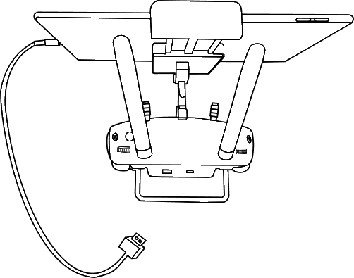
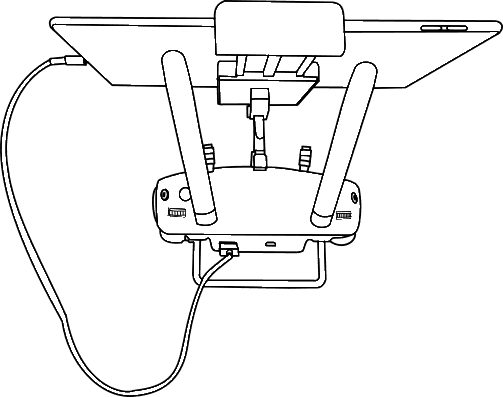
Unfold the antennas of the transmitter on both the sides.

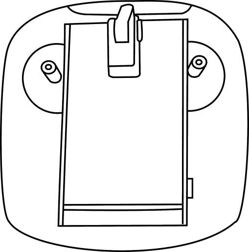
Unfold the phone/iPad holder and press the button on the side to place the device phone/iPad on the holder of the transmitter.

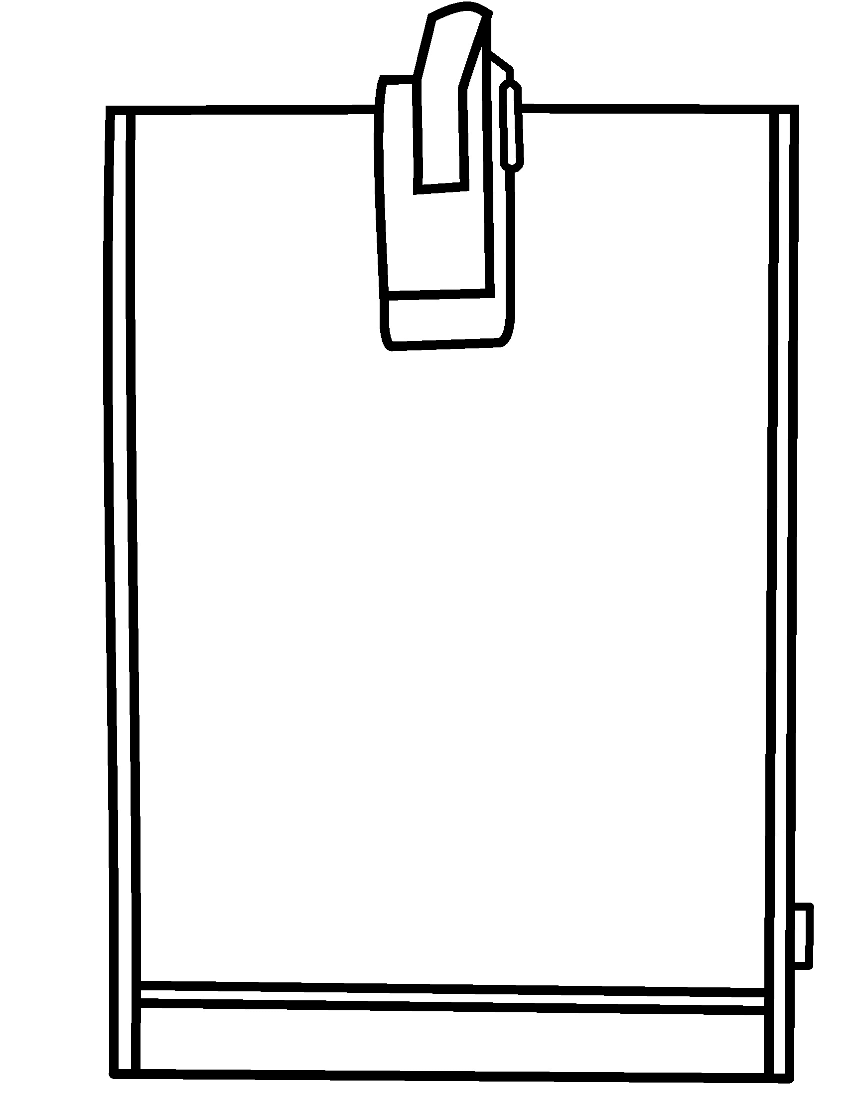


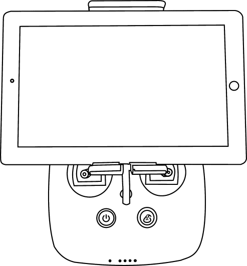
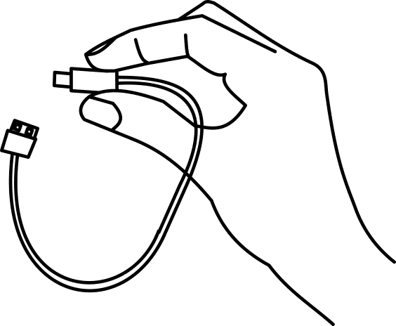
Connect the phone/iPad placed to the transmitter using a USB Cable.


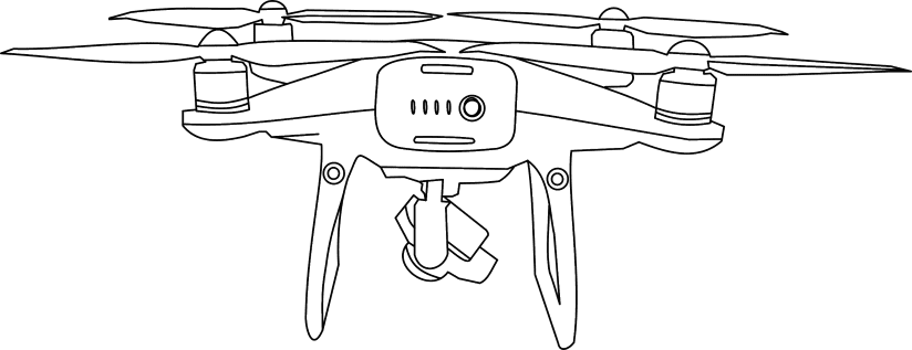
Top View
Back view
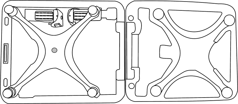
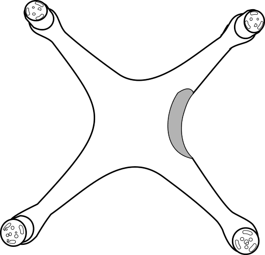
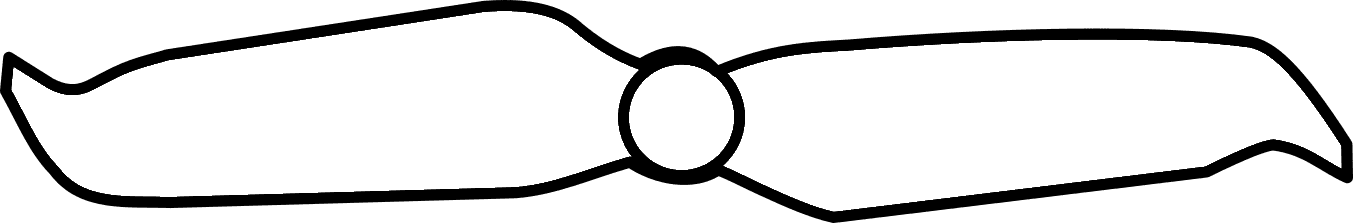
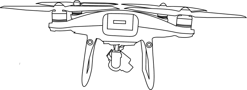
Remove the drone from the box and insert the propellers and lock them.
Note:- Carefully remove the camera holder.

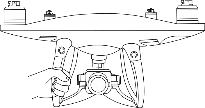
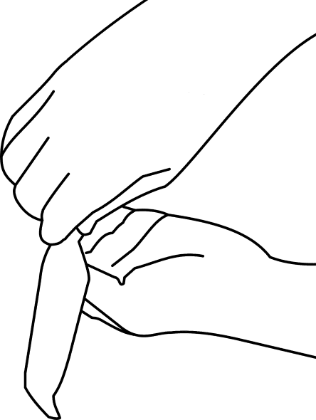
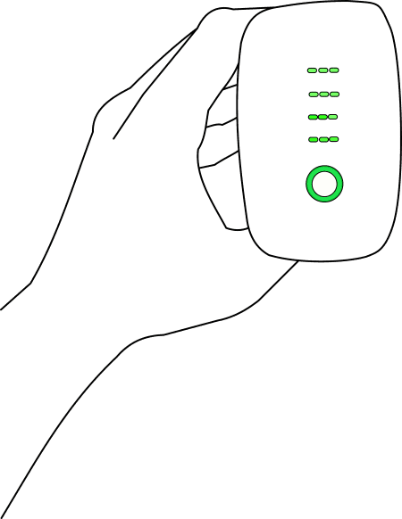
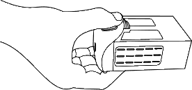
Insert the fully charged battery in the slot
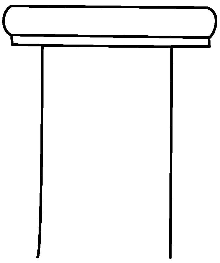
Open the Landing pad and place the drone on the Landing pad.
Note:- Unfold the landing pad.


Open the flight plan & start the mission


Upload the image here.


Loading!
Upload is completed!
Note:- Click on the check button of Upload, to process the captured data.
Note:- Click on the check button of Upload, to process the captured data.
Note:- Click on the check button of Upload, to process the captured data.
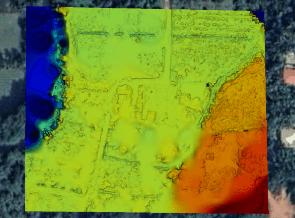
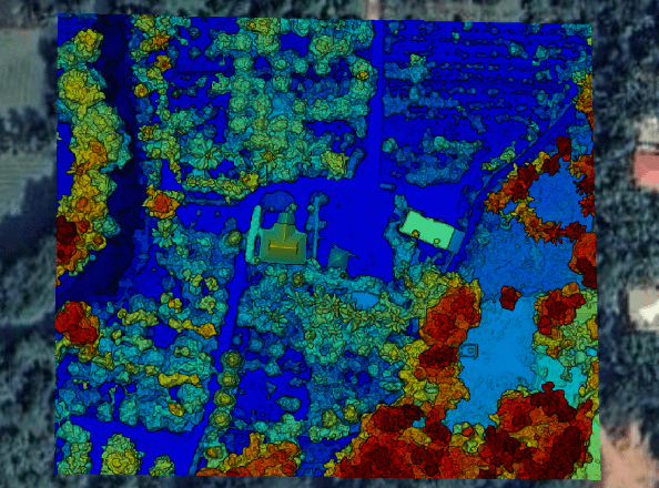
Observation:
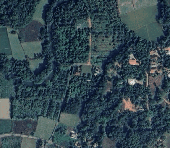
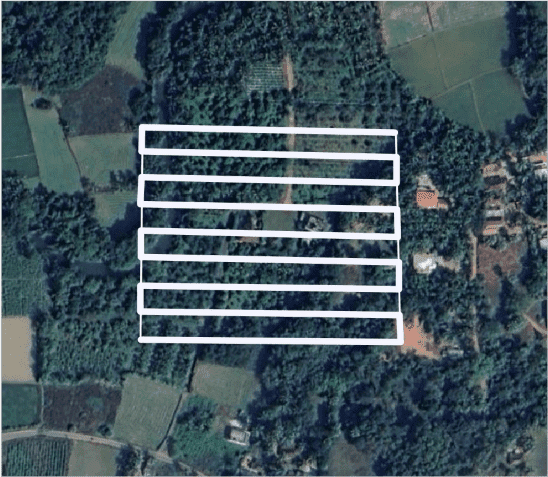
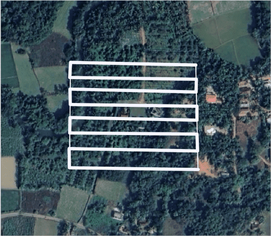
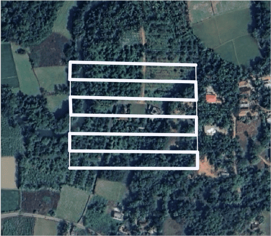
For the flight mission carried following are the observation:
Area surveyed: 59 Acre
No of batteries: 1
Front overlap: 75%
Side overlap: 70%
| Flight height (m) | Resolution (cm/px) | Flight Time (min) | No of Images |
|---|---|---|---|
| 100 | 2.74 | 15 | 131 |
| 120 | 3.29 | 13 | 187 |
| 150 | 4.11 | 10.45 | 286 |
Both ends of the pipe must be trimmed to ensure parallel faces.

