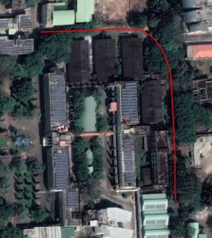
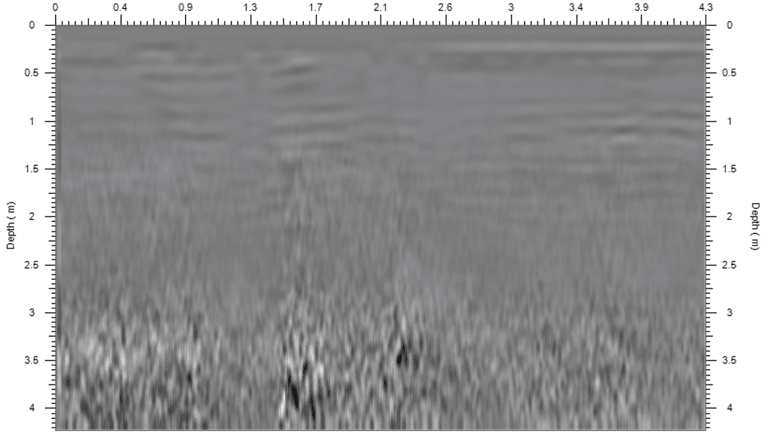
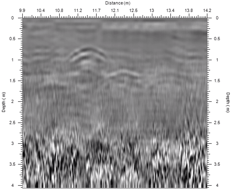
To identify the position and depth of the underground utility with help of Ground Penetrating Radar (GPR).
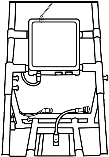
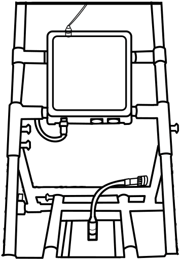
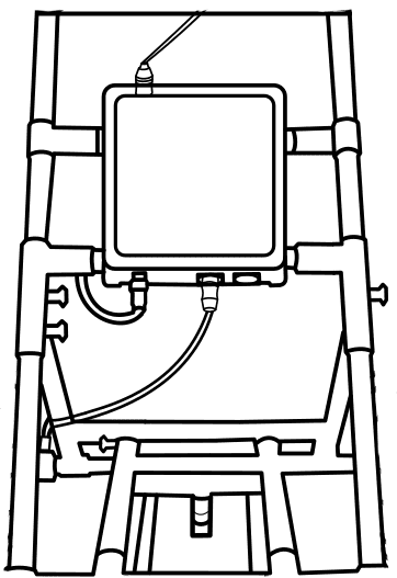
Ground Penerating Radar Device.
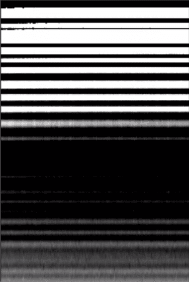
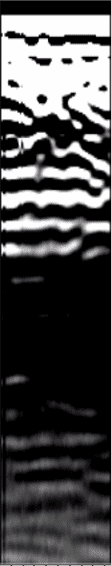
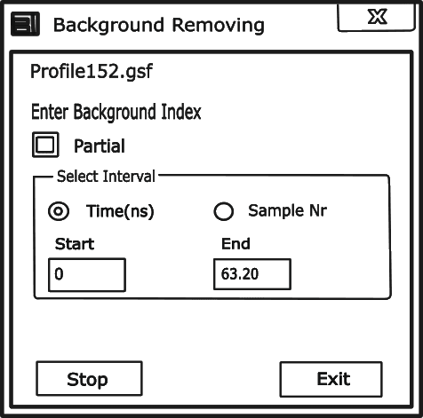
Ground Penetrating Radar (GPR): is a non-destructive geophysical technique that uses high-frequency electromagnetic waves to investigate subsurface structures and materials. It can be used for utility mapping to locate and identify buried utilities, such as pipes and cables.
Click on the GPR to identify the parts.
Radar Control Unit
UI and data storage laptop unit
Cart
Antena
Odometer
Connect Components to the Trolley and Suspend the Radar Horizontally 2-5 cm Above Ground Surface.
Connect Laptop to Controller.
Connect Controller to Odometer
Connect Controller to Battery and Radar.
Suspending Radar at 2 to 5 cm above.
Initial settings configuration of GPR.
The gain of Receiver is modified based on field condition as increase in depth damps the amplitude of wave.
Choose mode of survey as distance.
Material
Type
RDP
Intial settings are done for survey.
Start Survey Along with the Straight Path and Data Collection.Then Save the Survey Data.
Source:NITK Campus, Surathkal
File saved as Profile152.gsf
Post processing of GPR Data.
File
Open the data from your saved folder
lower value removes coarser noise, higher value reduces finer noise
The amplitude is readjusted to charge the contrast of image for better identification of utility.
click on the ok button to proceed.
Identification of utilities
Click on the top of the convex shapes appearing on the data set as they are the signature for different pipes & cables present under ground.
File
0.601
Result
Utilities have been found in the data set.
Distance noted 11.3m
Depth noted 0.6m