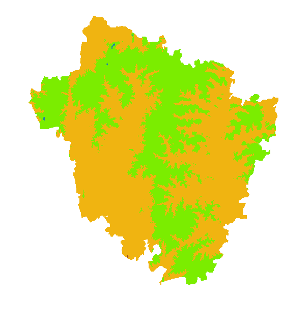
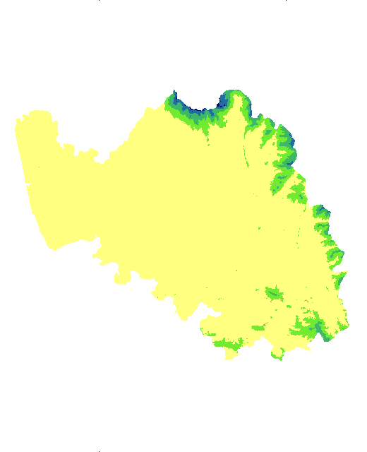
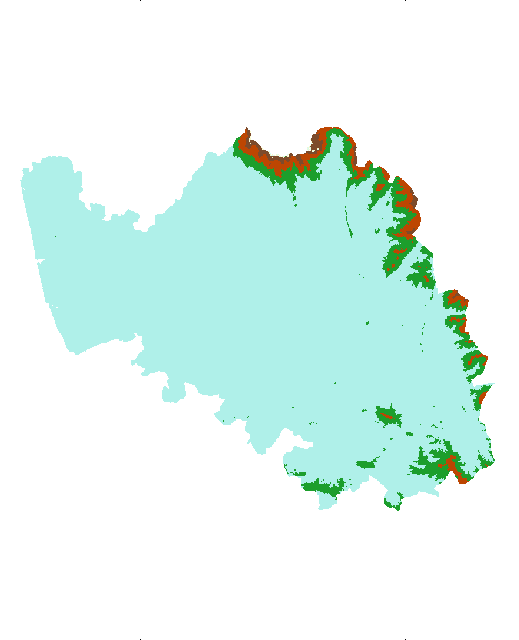
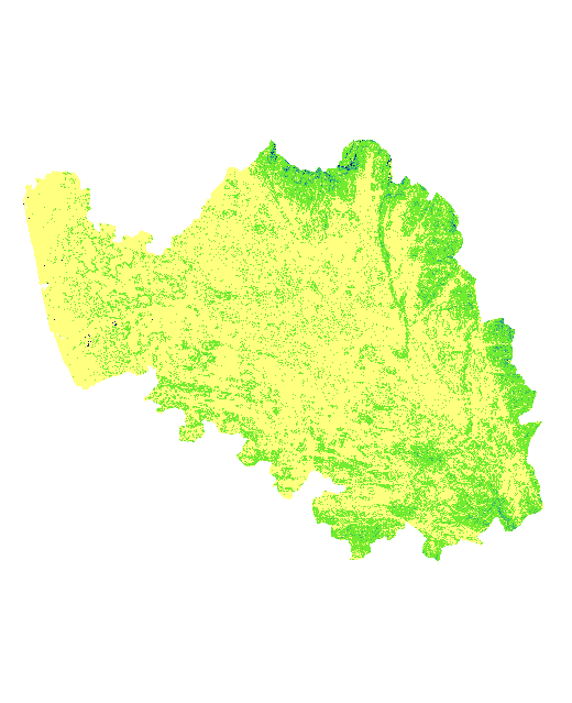
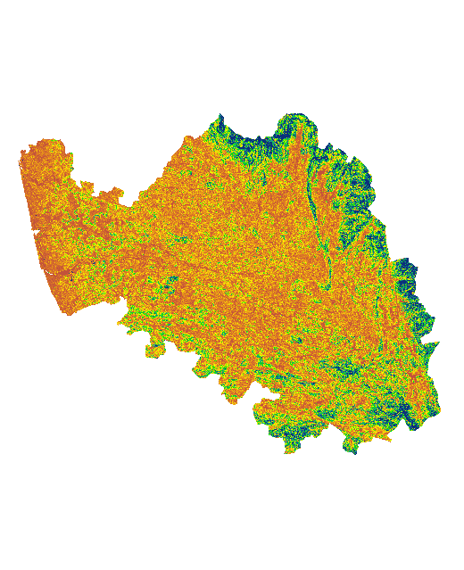
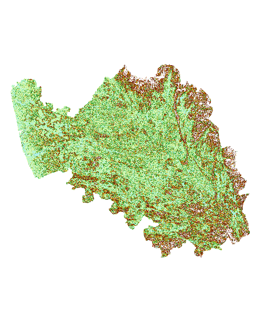
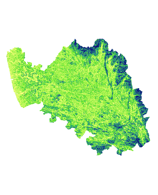
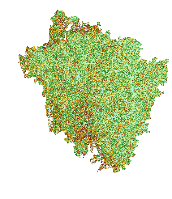
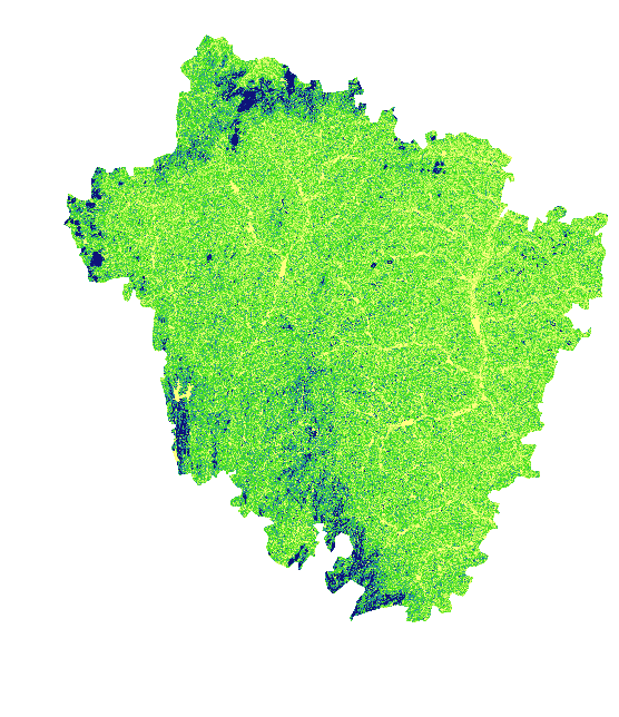
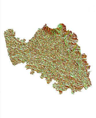
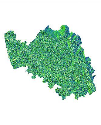
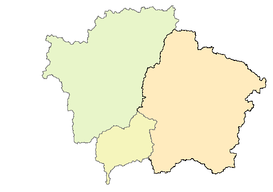
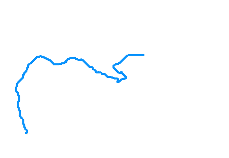
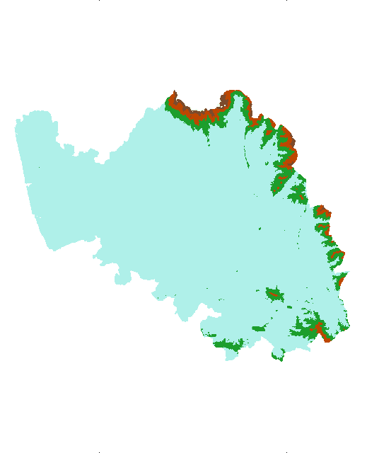
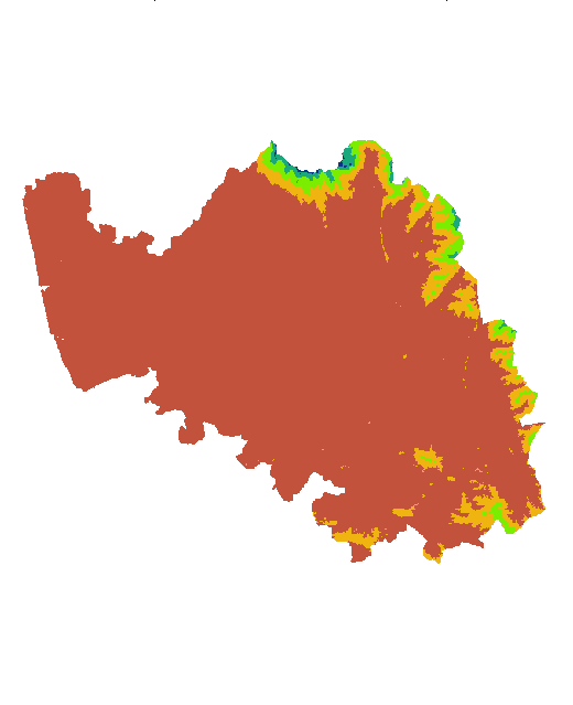
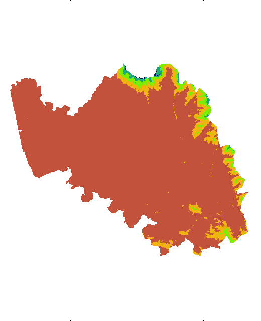
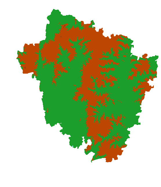
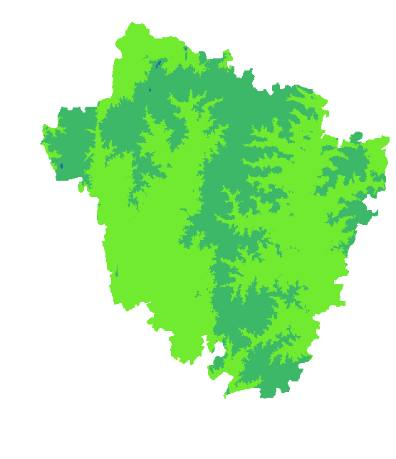
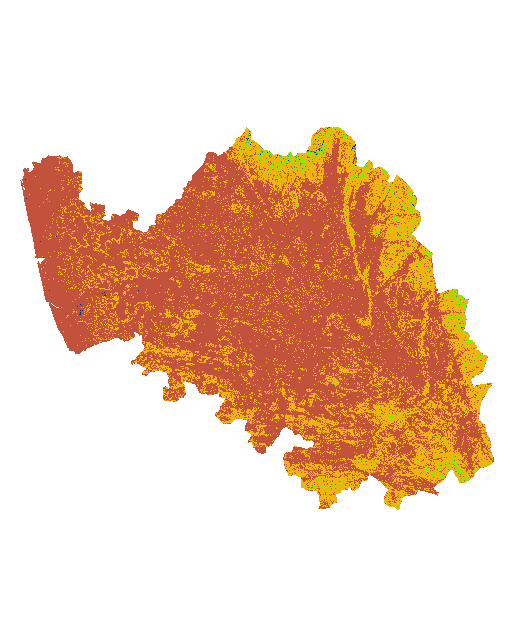
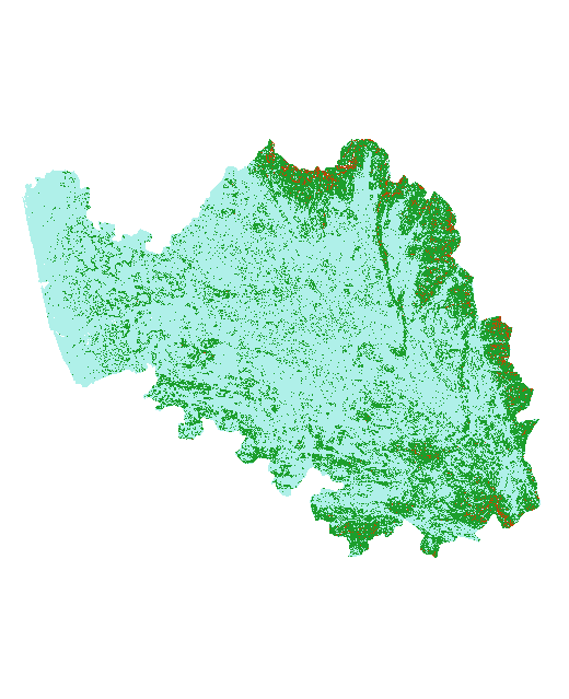
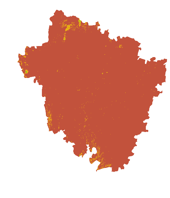
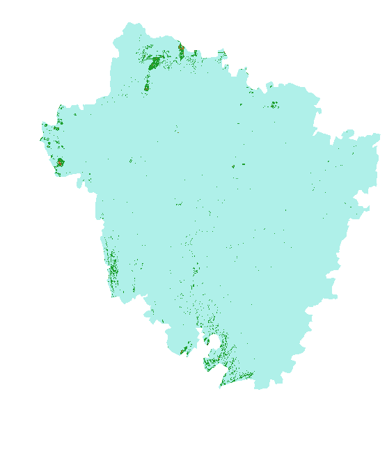
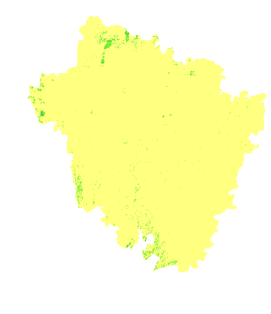
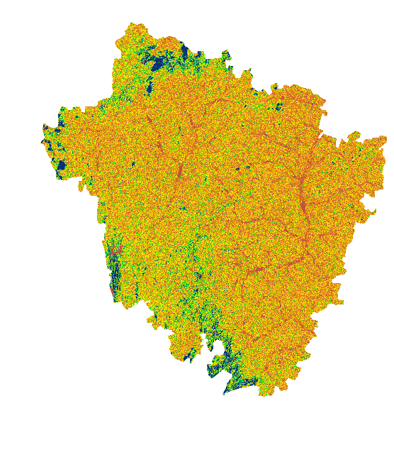
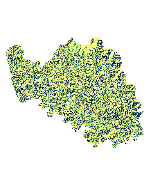
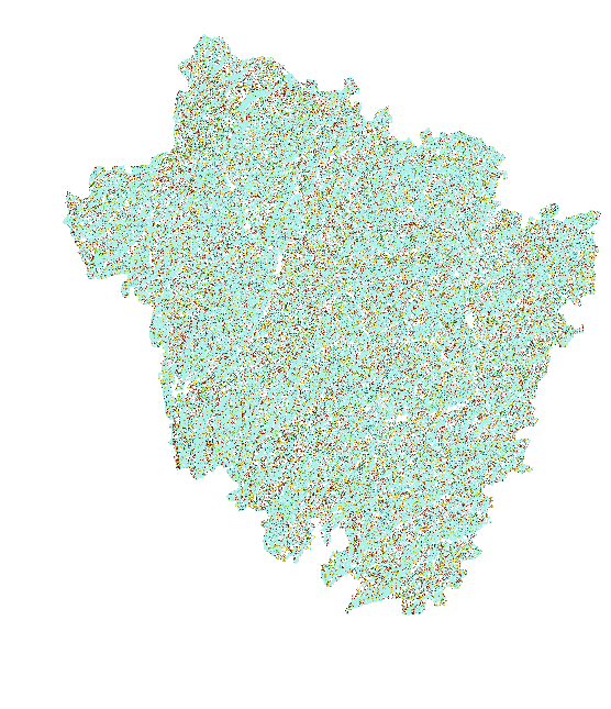
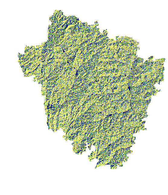
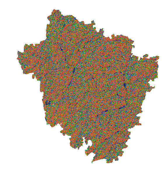
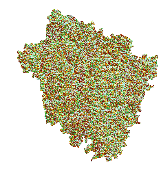
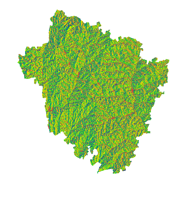
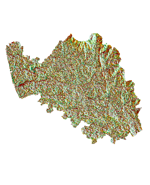
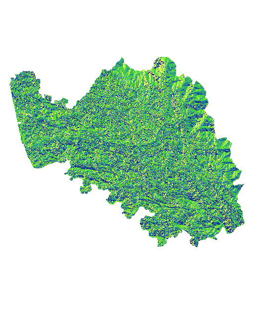
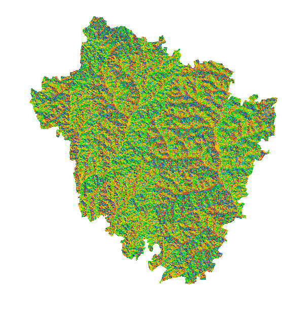
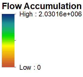
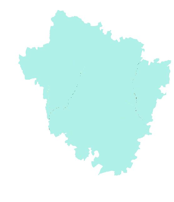
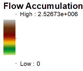
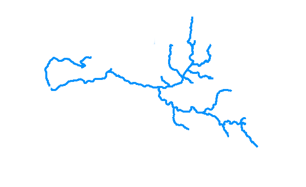
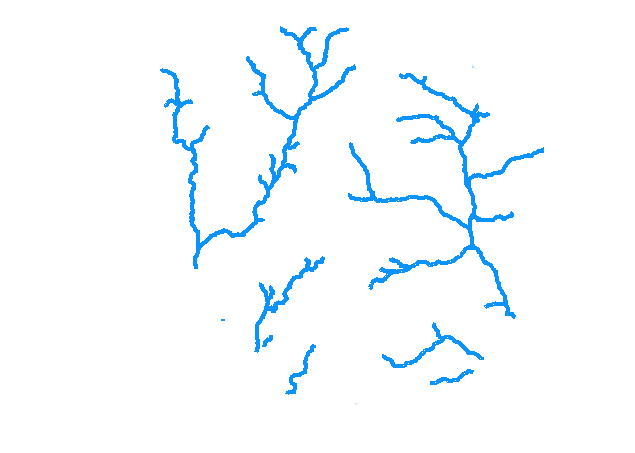
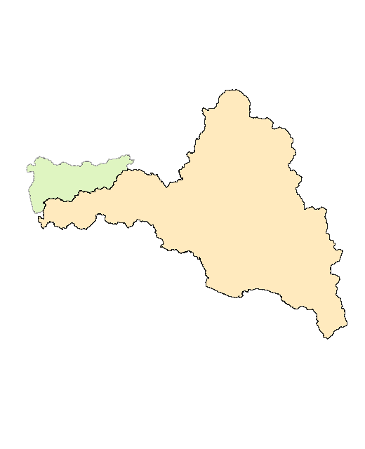
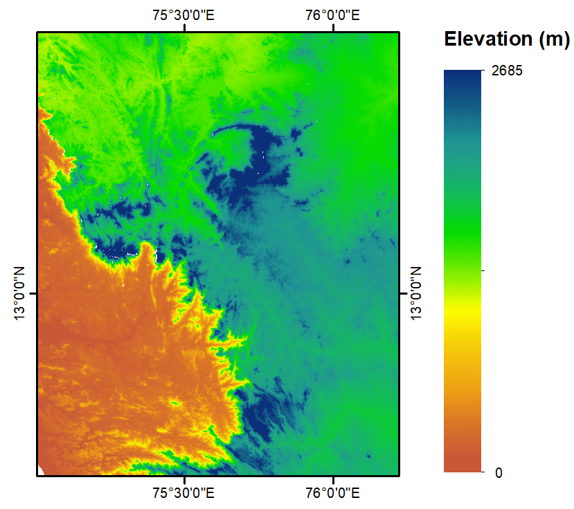
To extract the topographical features and delineate watershed from the Shuttile Radar Topographic Mission (SRTM) Digital Elevation Model.
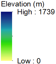
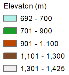
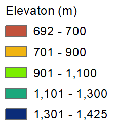
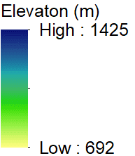
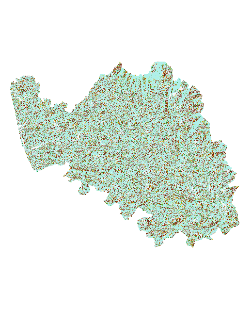
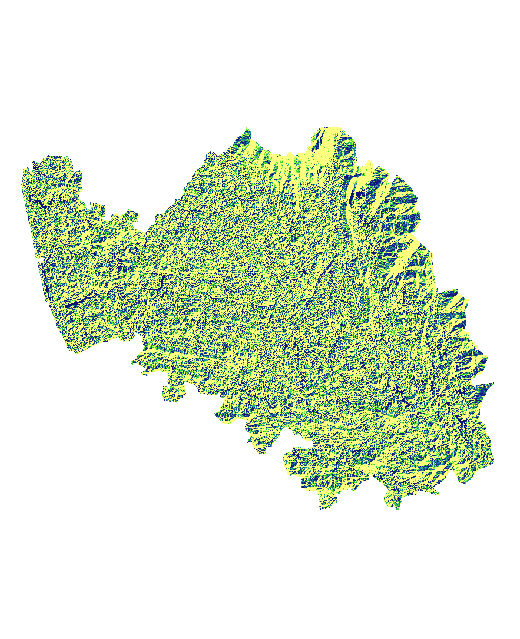
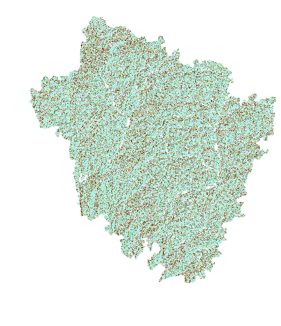
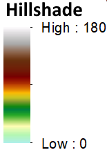
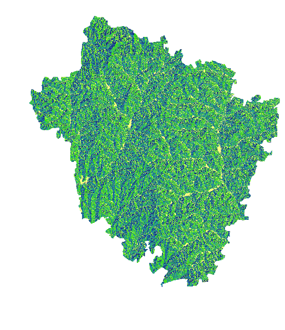
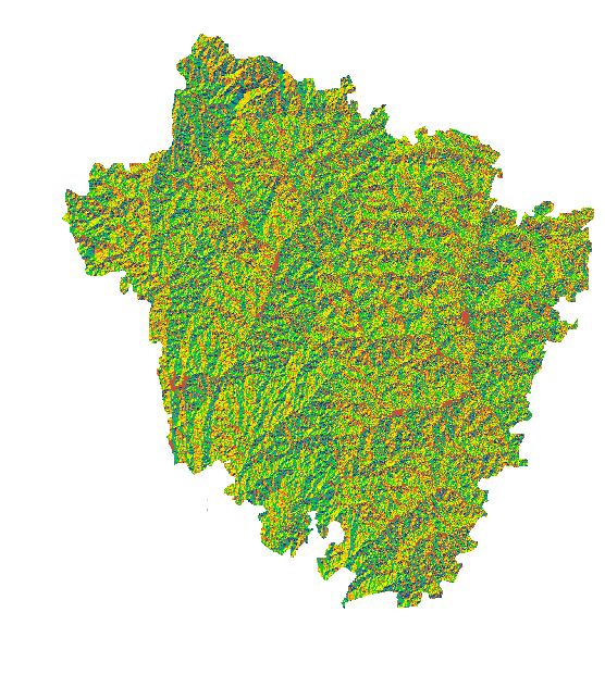
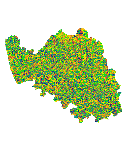
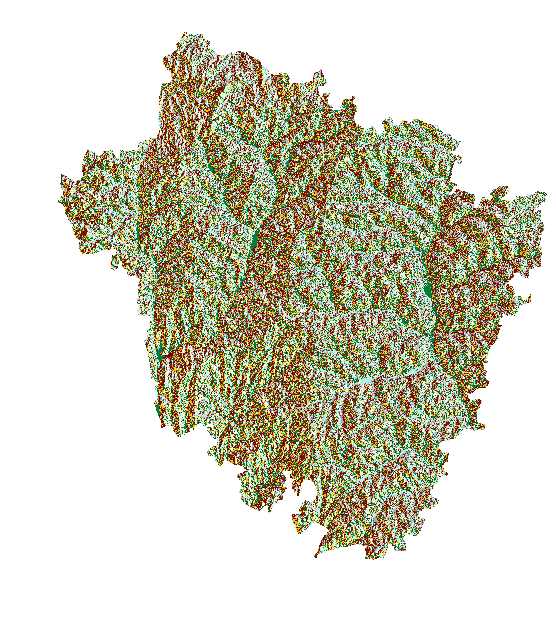
Digital Elevation Model(DEM): is a digital model of the earth’s surface created from terrain elevation data.
Click on the image to proceed.
You have selected the image.
Symbology
Represents the height from the Mean Sea level for each raster cell
The degree of incline of a terrain surface. It represents the rate of change of elevation
A technique used to visualize terrain as shaded relief.
The downslope direction of the maximum rate of change in value from each pixel to its neighbours, measured clockwise in degrees from 0 to 360.
aspect
Fills sinks in a surface raster to remove small imperfections in the data.
Generates a raster of flow direction from each cell to its downslope neighbour.
It generates a raster of accumulated flow into each cell.
The path of the stream in the watershed derived from the flow accumulation raster.
Determines the water contributing area above a set of cells in a raster.
Basin1
To view the Subbasin of the Basin1 Click on the image to Proceed.
There are no subbasins in basin 1
There is a river network in subbasin2
There is a river network in subbasin3
There is a river network in subbasin1
Basin2
To view the Subbasin of the Basin2 Click on the image to Proceed.
There is a river network in subbasin2
Basin3
To view the Subbasin of the Basin3 Click on the image to Proceed.